
Cumberland Neighbors by Block
A block search has several sources, each with a narrow role. Cumberland County Property Mapper is the county’s documented address and PIN tool for locating a parcel and seeing the surrounding mapped land. The Recorder’s index supplies title records for a selected parcel. Municipal staff may hold a permit or code file for the right borough or township. Election staff supervise inspection of public voter-registration records, but no verified street or block roster exists. Historical repositories can add local context without becoming a current-neighbor directory.
| Block source | What it shows | Access |
|---|---|---|
| Cumberland County Property Mapper | Immediately adjoining tax parcels, roads, municipal context, and selected assessment data | Search by address or PIN, then click a parcel. It does not establish occupants. |
| Recorder title records | Recorded owners and instruments for a particular parcel | Party and legal-description based, not a neighbor search. |
| Municipal map or permit file | Zoning, work, or address history tied to a parcel | Request from the correct borough or township; redactions may apply. |
| Cumberland Bureau of Elections | Supervised public voter-record access | Not a verified block or street directory; confidentiality protections apply. |
| Historical repositories | Maps, directories, photographs, and community history | Scope and availability vary by collection. |
The distinction matters. A mapped neighbor may be an adjoining parcel, while an owner in a deed may live elsewhere. A property can have more than one owner, a trust, or a different mailing route. Use each result as evidence of the record’s subject, not as a claim about everyone nearby.
Cumberland Parcel Neighbors Are Not Households
Property Mapper shows a geographic relationship between parcels. It can help identify which lots are contiguous, where a road or municipal boundary lies, and which parcel should be examined next. The county’s research documents a selected parcel panel with assessment data, but it does not document a universal list of every field that a live parcel will display. It also does not establish a person’s present residence.
The county cautions that online property sources may omit important information such as owner mailing addresses. A situs address identifies land. A mailing address is where tax correspondence goes and can be a post-office box, a business address, a trust agent, or an address outside the county. A legal description identifies the lot or tract through lot, block, subdivision, or metes-and-bounds language. That description is more useful than a street label when comparing a deed to a parcel.
Non-owner occupants, other household members, utility customers, delivery information, and motor-vehicle addresses do not become block evidence because a parcel is visible. The federal Driver’s Privacy Protection Act also restricts personal information from motor-vehicle records.
Map Cumberland Neighbors by Clicks
The verified process is visual. Open Cumberland County Property Mapper, search with the target street number and street name or a PIN, and click the selected parcel. Then pan the map and click each contiguous parcel. Preserve each parcel’s separate PIN and the map relationship instead of combining several lots into one neighbor record. The research did not capture a buffer, radius, or automatic neighbors tool, so no such tool should be assumed.
- Enter the known street number and street name, or the PIN, in Property Mapper’s search bar.
- Click the target parcel and record the municipality, PIN, and assessment details that are actually visible.
- Pan to each adjoining parcel and click it individually, preserving its own PIN and map position.
- For a particular parcel, compare the available land details with a Recorder deed by party and legal description.
- Route any permit or code question to the municipality identified on the map, not simply to a postal-city label.
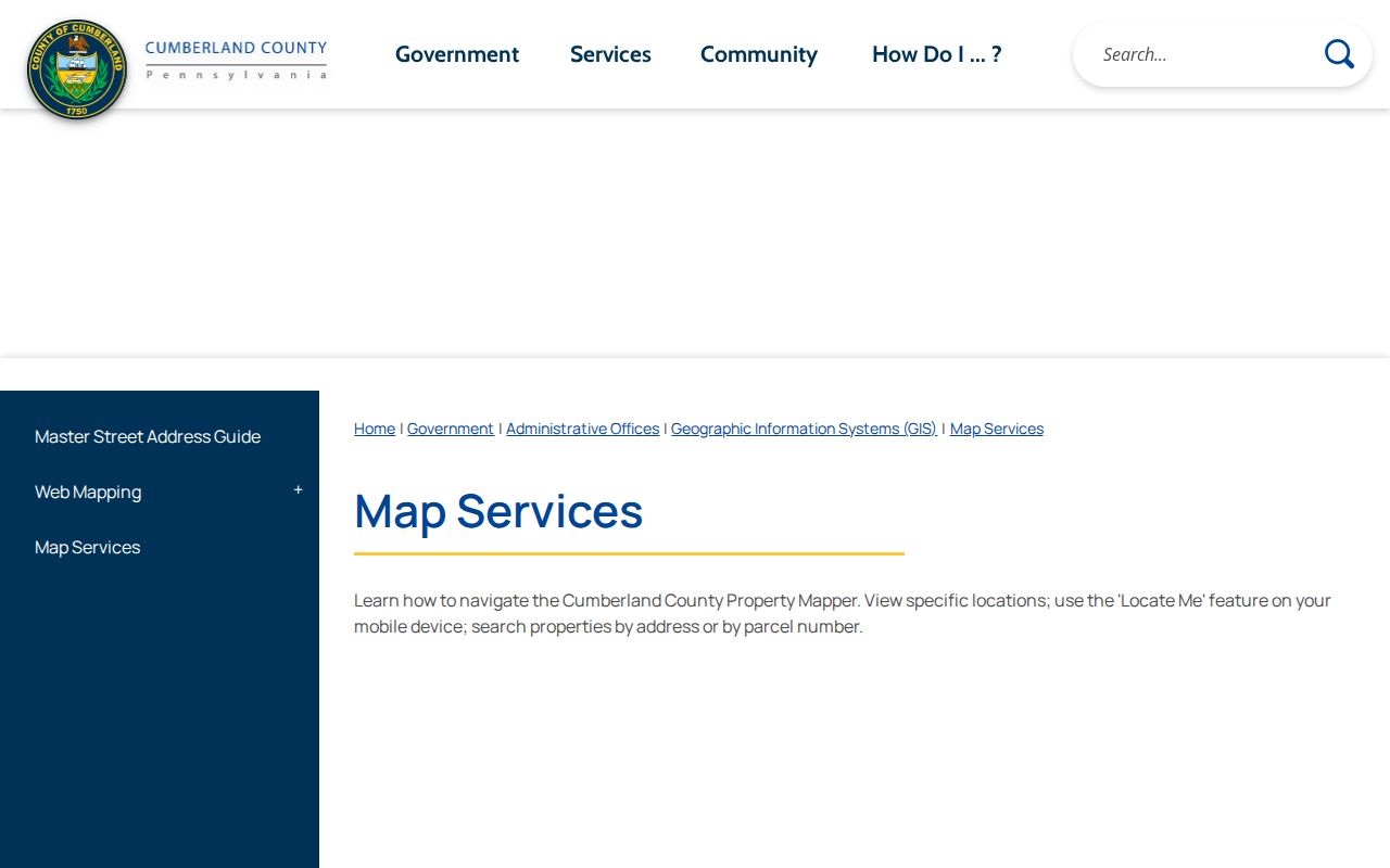
The county’s Map Services page describes the selected assessment panel, print function, and imagery choices used in this process.
The map is a practical block sketch, not a resident roster. For a whole named street rather than immediate parcels, the Cumberland street directory route keeps the address-to-title sequence in one place.
Cumberland Neighbor Title Checks
Once a map click identifies a particular parcel, a deed search begins with the current owner or party as grantee in the Recorder’s Landex index. Compare the instrument type, recording date, book/page or instrument placement, and legal description before drawing a conclusion. The prior grantor on a recorded deed can point to an earlier titleholder, but that is a title chain rather than a list of residents.
The Cumberland County Archives describes a historical Deeds Index, Grantees that is arranged A to Z and records the grantee, grantor, instrument type, and deed-book/page placement. Cumberland says its deeds are searchable back to 1750. Mortgage records have a different stated online reach, beginning in 1973, and miscellaneous records begin in 1956. Those separate start dates mean that one document type cannot stand in for all history on a block.
Note: Check a parcel’s legal description against the map because a shared surname alone does not prove the same property.
Cumberland Neighbors and Election Records
Pennsylvania’s voter-registration status tool is designed for personal verification. Its landing page confirms an online status route, the county election office, and 1-877-VOTESPA as contact paths, but the live form fields were not captured in the research. The tool should not be described as a public address-radius, street-browse, or block-neighbor search.
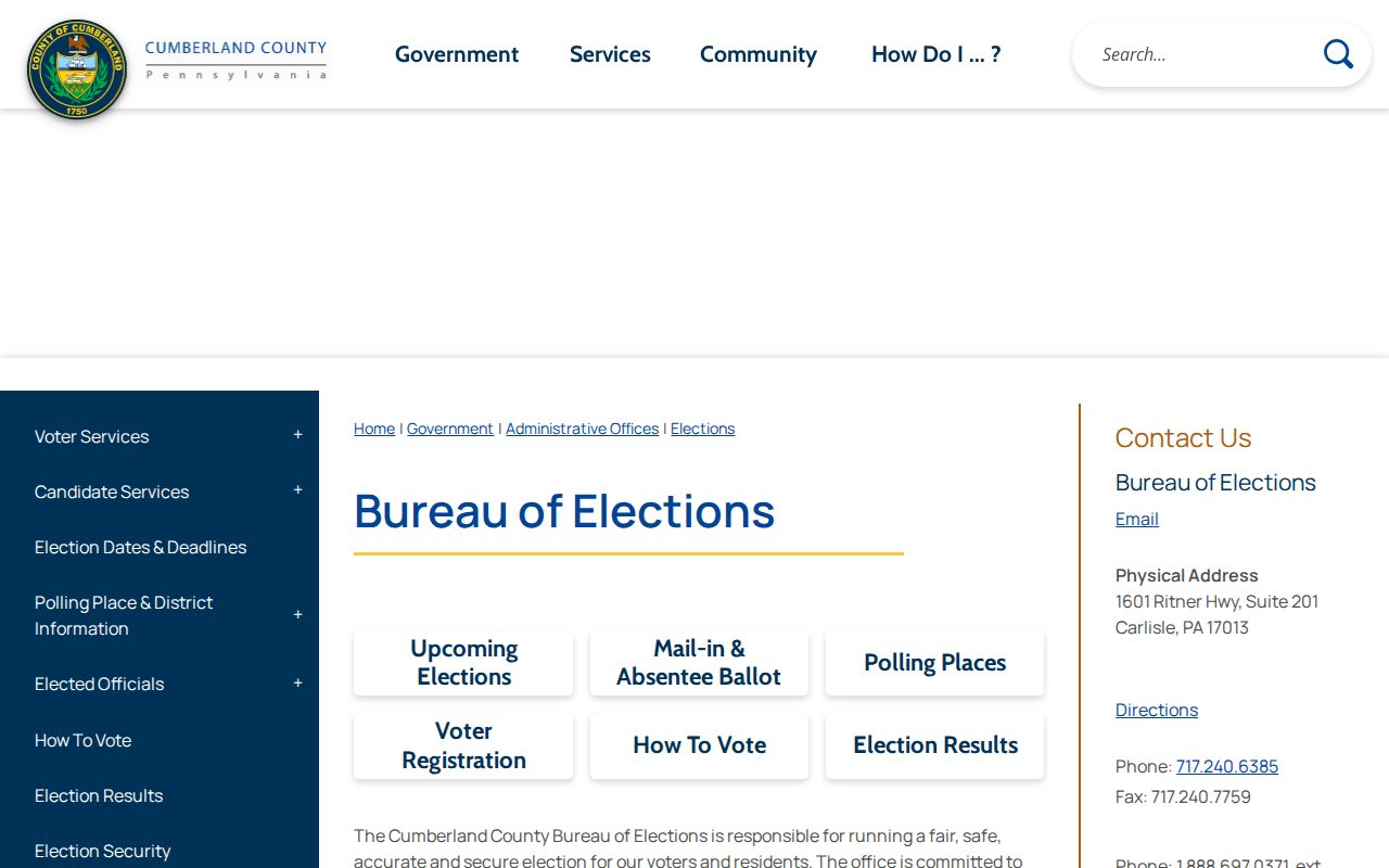
The Cumberland Bureau of Elections says all voter-registration records are public documents available for inspection under staff supervision. A narrow request for an existing record is the appropriate next step when permitted. Ask the office about its current request form, fees, delivery format, allowed use, and redacted or confidential fields. Ballot choices are secret, and election staff do not turn voting records into a household inventory.
The county’s elections information page is the source for the office access statement shown here.
Pennsylvania’s Address Confidentiality Program can use a substitute address in voter registration and other listed government records for qualifying participants. An absent or protected record is not evidence that someone is not connected to Cumberland County.
Cumberland Neighbor History Resources
There is no verified countywide neighborhood-association directory, HOA roster, civic-council membership list, or block-watch directory in the research. Instead, Cumberland’s useful community layer is made of local-history collections. These sources can help explain a place, street, family, or past neighborhood. They should not be treated as membership lists or republished as personal neighbor data.
| Local resource | Confirmed material | Best use |
|---|---|---|
| Cumberland County Historical Society | City directories, maps, tax and census records, newspapers, manuscripts, genealogy materials, and more than 30,000 photographs | Ask staff or the catalog for a town, year, and relevant collection. |
| New Cumberland Community Archives | Photographs, records, maps, and newspapers about New Cumberland and the surrounding area | Local address or community context; materials are being digitized to Power Library. |
| Shippensburg Historical Society | Archives, deeds, maps, photographs, and artifacts | Local context for the Shippensburg area. |
| Cumberland County Library System | Genealogy links, county and Cumberland Valley history, census, cemetery, and newspaper resources | Find a collection or ask about local titles and in-library access. |
The Library of Congress historic Cumberland map adds rural householders’ names and borough lot insets. It is a historical geography clue, not proof of modern ownership or occupancy. For New Cumberland material, the community archive’s 1976 founding and digitization work give a useful local route when a countywide collection is too broad.
Cumberland Neighbor Map Geography
Cumberland’s parcel, postal, and municipal labels can point in different directions. Carlisle, Mechanicsburg, Camp Hill, Shippensburg, New Cumberland, Mount Holly Springs, and Newville are part of a varied borough and township matrix. A postal city or ZIP is a delivery clue, not the legal authority for a permit or code file. Property Mapper is the county tool for parcel location, municipal context, and the addressing data that supports emergency services.
Map Services reports that the Property Mapper enhancement supplies a left-side assessment panel for a selected parcel, a print widget that produces a map and selected assessment data, 2024 imagery by default, and seven earlier imagery years. Those image years can help date visible physical change. They do not identify residents. When records disagree, preserve the parcel PIN and legal description, then verify the responsible municipality before sending a records request.
Cumberland Neighbor Source Comparison
Official public records and commercial neighbor tools serve different purposes. A commercial tool may compile older or mixed data, but its result should not override a dated county record. A county map, Recorder index, or supervised office record also has limits, especially for occupants and protected addresses. Compare the scope, date, and custodian before relying on any result.
| Source category | Useful for | Boundary |
|---|---|---|
| Official county records | Parcel geography, recorded title, and an existing record held by a named custodian | Often record-specific; a recorded owner is not automatically an occupant. |
| State election route | Personal registration-status verification and permitted supervised inspection | No verified block roster or address-radius search; protected addresses apply. |
| Commercial neighbor tools | Unverified compiled leads that may need independent checking | Can be stale, combine namesakes, omit protections, or misstate a current connection. |
Cumberland Neighbor Lookup Limits
A neighbor lookup cannot reveal every person on a block. Parcels do not show non-owner occupants or all household members. Utility accounts, delivery information, and protected motor-vehicle data are not public block records. Court files can be sealed or unavailable, and the Right-to-Know Law does not override confidential, juvenile, or otherwise exempt information. Protected-address participants must not be exposed through a map, election, or records request.
If a parcel, recorded document, assessment, or other public record contains an error, retain the record number and ask the custodian for its correction process. Do not infer why a person or address is absent. For an urgent threat or danger, preserve information for law enforcement and call 911.
Lawful use. Use Cumberland neighbor records for personal, lawful research, local history, family matters, or civic curiosity. Do not use them to watch, stalk, harass, threaten, or intimidate any person.