
Walk a Cumberland Street by Address
Start with one complete address in Cumberland County Property Mapper. The county documents an address search using the street number and street name, as well as a PIN search. Select the parcel and preserve only the fields that the live panel actually shows. The map is useful for locating land, its municipal setting, nearby roads, and imagery context. It is not documented as a full-street browser, and an address result does not establish who occupies every home on that street.
For a Cumberland street directory inquiry, the next step is an ownership trail. A parcel or PIN gives a stable starting point when a street number has changed or a postal label is confusing. Property Mapper belongs first in the sequence because it helps separate county parcel geography from the name on a recorded instrument. The title index, local municipal records, and older collections serve different purposes after that first map check.
- Enter the known street number and name, or a PIN, in Property Mapper and select the matching parcel.
- Record the parcel context, municipality, and any assessment details actually displayed in the selected panel.
- Search the current party as a grantee in the Recorder’s Landex index, then compare the legal description, instrument, date, and book or page placement.
- Follow the named grantor to that party’s earlier acquisition when tracing title backward, keeping the same parcel description in view.
- Ask the correct borough or township records officer about an existing permit or code file, and ask historical-repository staff whether an address directory exists for the needed period.
Note: The sequence traces land and documented events first; it does not convert a parcel record into a current household list.
Cumberland Street Map Inputs
County Map Services describes Property Mapper as a public parcel tool with a selected-property panel, print output, and imagery options. Its quick-reference guide confirms only the following input and map controls. The county did not document a public owner-name lookup, a full-street browse, or a fixed list of every field in the assessment panel. Keeping that boundary matters when an address search produces a tempting but incomplete result.
| Property Mapper control | Input or action | What the county documents | Street-record boundary |
|---|---|---|---|
| Address search | Street number and street name | Search-bar address lookup | Specific-address search, not a verified street list |
| PIN search | Parcel identification number | Search-bar PIN lookup | PIN format was not published in the guide |
| Parcel selection | Click a map parcel | Selected parcel opens detailed information | Read only fields visible on that selection |
| Locate Me | Device geolocation | Bullseye map control | Permission and device accuracy apply |
| Print and imagery | Map widgets and base map | Print includes map and selected assessment data; 2024 imagery plus seven prior years | Imagery can show physical change, not resident identity |
The county quick-reference guide is the right source for the address and PIN workflow. For property information that is not shown online, the Tax Assessment Office is the county’s stated follow-up, at 717-240-6350 or assessment@ccpa.net. Ask for an existing record and expect any disclosure or redaction rules to be applied.
Note: A property panel may contain assessment data, but its exact visible fields were not captured in the research and should not be assumed.
Cumberland Street Parcel Terms
Address research becomes more reliable when the record labels are kept separate. A street number is useful for reaching a map result, but the parcel’s legal description is the continuity check for title work. This distinction is especially helpful when a subdivision is replatted, an address is renumbered, or a mailing city differs from the municipality. Cumberland County’s documented search tools use an address or PIN, while the Recorder’s historical index is organized around parties and recorded placement.
- Parcel
- A mapped unit of land used in county assessment and GIS work. Property Mapper can locate a parcel through a specific address, PIN, or map selection.
- Situs address
- The physical property address. It identifies land for mapping and may differ from the address used for tax correspondence.
- Legal description
- Lot, block, subdivision, or metes-and-bounds language that identifies the land in recorded title documents and helps test continuity across address changes.
- PIN
- The county parcel identifier accepted by Property Mapper. The public guide confirms the input but does not publish a required punctuation pattern or length.
- Criss-cross directory
- A historical reverse directory that can organize entries by address when a verified local volume contains that feature; Cumberland’s exact runs require staff confirmation.
Cumberland Street Mailing Limits
The County’s property-information guidance warns that online sources do not list some important information, including some owner mailing addresses. That makes the most common shortcut unreliable. A mailing address can be a post-office box, a different property, a business, or a representative’s address. It is not proof that a person lives at the mapped situs address, and its absence does not prove that no address exists.
For a Cumberland street directory search, use the online map to identify the parcel and the Tax Assessment Office for the office’s own existing-record process. Do not substitute a mailing lead for residence evidence. A recorded owner, a mailing recipient, a map householder, and a directory entry all document different relationships to a place. That difference is a useful safeguard against attaching the wrong person to an address.
Cumberland Street Title Chain
The Cumberland County Recorder of Deeds directs online search and review to Landex and says deeds are maintained and searchable back to 1750. The county’s public-records hub distinguishes that long deed reach from mortgages, listed from 1973 forward, and miscellaneous documents, listed from 1956 forward. Those three dates describe record classes, not a promise that every document image is free or address-searchable.
Landex is a party and recorded-placement index. The County Archives describes its historical grantee index as A to Z by grantee, with the paired grantor, instrument type, and book/page location. Search a known party as grantee, compare the legal description to the parcel, then use the seller or grantor as the next historical lead. County selection, party name, instrument type, book and page, and recording date or range are the supported search concepts. The live dropdown labels and access tier were not captured, so they should be checked in Landex before relying on a result.
A street name alone is not a documented Landex search. The title chain moves from a mapped address to the parcel’s documented description and then to grantor and grantee records. That method may reveal prior ownership, not every person who lived on the street.
A Landex entry screen is shown below because the Recorder identifies it as the county’s online route for deed search and review.

The screen supports the title-record portion of a street investigation after Property Mapper has supplied the parcel context; it does not establish a full-street address browse.
Cumberland Street Records Compared
Several Cumberland County records can be tied to the same land, but each answers a narrower question. The map identifies parcel geography. Assessment staff may have additional existing assessment information. The Recorder documents title instruments. A municipality holds its own permit and code files. Election records are available for inspection under staff supervision, yet the county has not stated that they can be browsed as a street roster. Use the source that matches the question instead of turning any one record into a household directory.
| Address-linked source | County or local keeper | Useful Cumberland evidence | Access boundary |
|---|---|---|---|
| Property Mapper | County GIS and Assessment | Address/PIN result, selected parcel, municipal and imagery context | Specific address or PIN is documented; no full-street browse verified |
| Assessment record | Tax Assessment Office | Existing assessment information available under office rules | Online sources can omit some mailing addresses |
| Deed and grantee index | Recorder, Landex, County Archives | Grantor, grantee, instrument type, book/page, recorded title trail | Party and legal-description based, not a verified street search |
| Municipal permit or code file | Relevant borough or township | Work, event, or applicant record tied to property | Find the municipality first; request existing records from its officer |
| Voter record inspection | Cumberland Bureau of Elections | Public-record inspection under staff supervision | No street roster or ZIP filter was verified; protected addresses remain protected |
| Historic map or directory | Historical Society, library network, Library of Congress | Older landowner, lot, road, or address leads | Does not prove present occupancy; reverse-directory years are unverified |
The countywide offices are in Carlisle, while local permits and code matters belong to the actual borough or township. A Carlisle postal label does not decide that question. Property Mapper’s municipality and boundary context should guide a targeted municipal request under the Pennsylvania Right-to-Know Law.
Cumberland Street Municipal Files
Permit and code records are not held in one countywide street directory. Cumberland County includes borough and township settings such as Carlisle, Mechanicsburg, Camp Hill, New Cumberland, Newville, Mount Holly Springs, and the Shippensburg area. The same postal label can span more than one local-government context. Before requesting a local file, use the map to identify the parcel’s municipality rather than relying on the ZIP code or a mailing city.
Ask the borough or township open-records officer for an existing address, permit or case record, date span, and document type. Under the Pennsylvania Right-to-Know Law, an agency ordinarily responds within five business days and can issue a qualifying interim response. The request should seek records the office already keeps, not demand that staff assemble a list of everyone connected with the address. A permit can document property work or an application, but it is not a resident list.
Note: Municipal records follow municipal jurisdiction, so a correct Cumberland County parcel still needs the right local-office request route.
Cumberland Street Imagery Records
County Map Services reports a recent Property Mapper enhancement: a selected parcel opens in a left-side panel with assessment data, the print widget produces a map with selected assessment information, and 2024 imagery is the default with seven earlier years available. That sequence can help date visible changes to a parcel or compare the physical setting of a street segment. It cannot identify a person or prove who occupied a property at a given time.
The Map Services page documents the county’s parcel, imagery, and planning-review context.
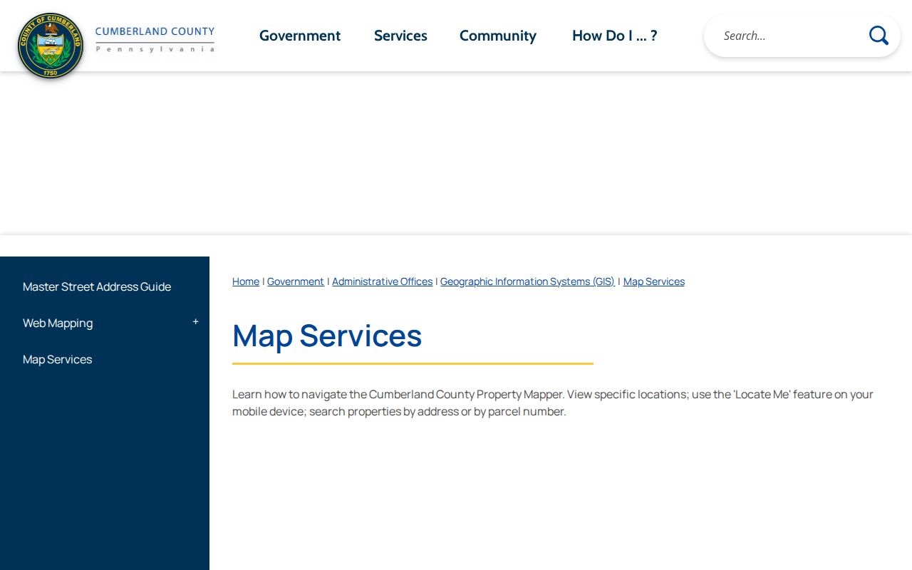
Use the map and imagery as a geographic check alongside the parcel and title record, not as an independent account of a household.
Cumberland Street Recorder Access
The online title route is only one channel. The Recorder says Landex is available around the clock for deeds, while the office provides in-person searching from 8:00 a.m. to 3:30 p.m. and requests appointments because of occasional remote days. The office is at 1 Courthouse Square, first floor, Carlisle, and its direct number is 717-240-6370. For a difficult title trail, office search and the County Archives index provide a practical fallback when online results do not resolve the record placement.
The Recorder’s official access page shows its Landex route, office availability, and contact information.
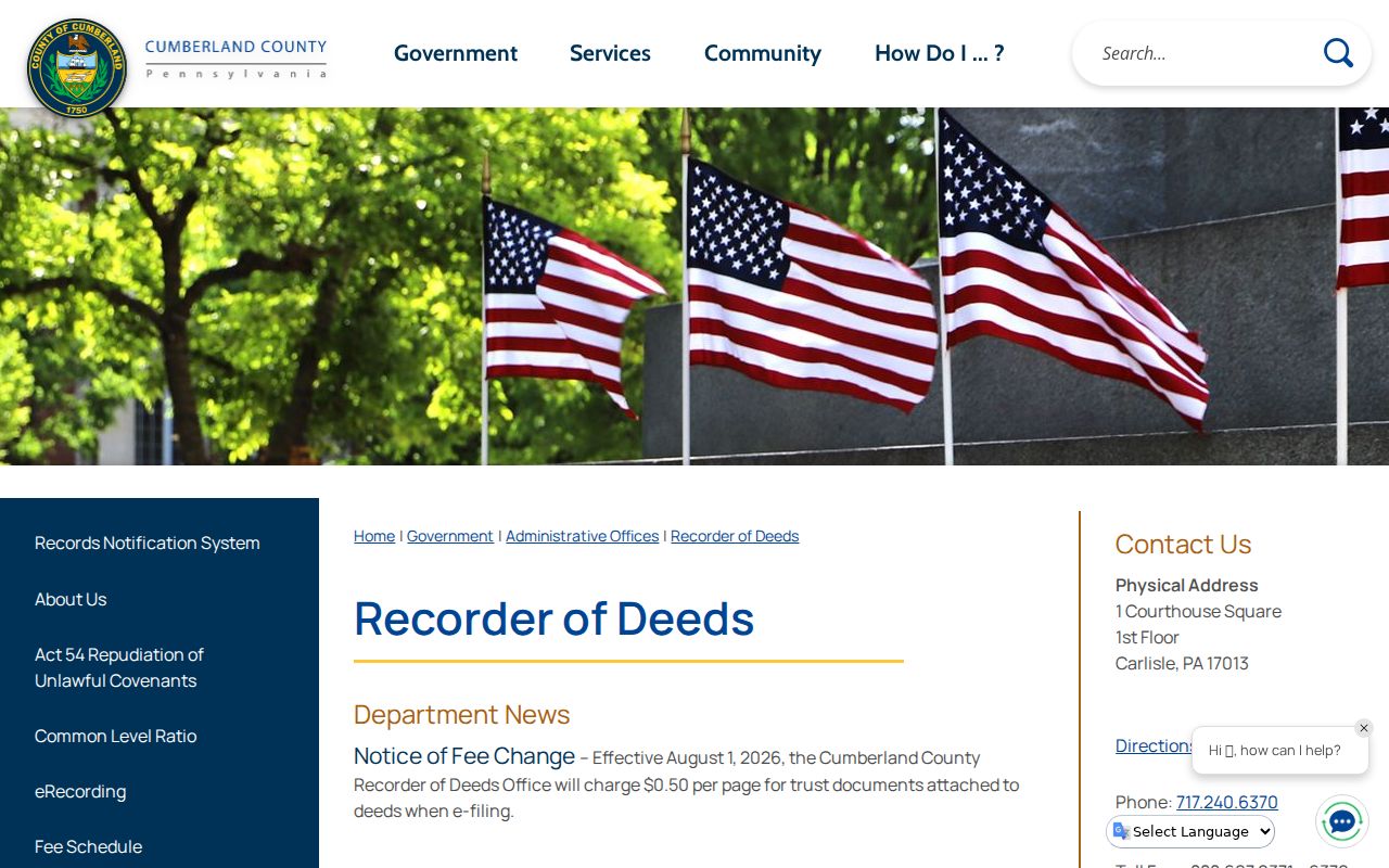
Recorder access helps locate a particular title record by party and recorded placement; it is not evidence that an online result covers all associated address records.
Cumberland Street Historical Leads
For an older street question, the Cumberland County Historical Society is the countywide collection route for city directories, tax lists, maps, census material, newspapers, manuscripts, genealogy sources, and more than 30,000 photographs. The county library system’s genealogy resources can also direct researchers to historical collections, FamilySearch centers, and local organizations. The inspected sources do not publish an itemized list of reverse-directory years or publishers, so request the exact town, year, and address feature from staff before treating a volume as a criss-cross source.
Cumberland’s longest verified record story is layered rather than simple: deeds trace to 1750, the County Archives preserves name-and-book/page indexing, and historical repositories preserve maps and local context. A historic street lead needs a map, lot, name, and date check before it becomes a reliable match. This is where old land records and historical collections complement each other without claiming that either one captures every past occupant.
The County Archives description of the Deeds Index - Grantees documents the paired names, instrument type, and book/page pathway.
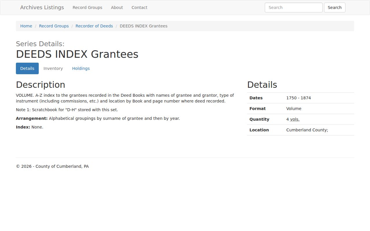
That archive description is useful for reconstructing a title path, while a confirmed directory or map may supply the separate historical address context.
Cumberland Street Privacy Limits
A Cumberland street directory cannot reveal every person attached to a place. Non-owner residents, minors, utility customers, delivery data, motor-vehicle addresses, confidential records, and protected-address participants are not made public merely because a parcel can be mapped. The federal Driver’s Privacy Protection Act limits motor-vehicle personal information, and Pennsylvania’s Address Confidentiality Program can provide a substitute address for qualifying participants in voter, court, vehicle, school, marriage, utility, and other records.
The Cumberland Bureau of Elections says voter-registration records are public documents available for inspection under office staff supervision. That statement does not create a public street roster, a household list, or a right to expose confidential registration information. When a record is sealed, restricted, redacted, or subject to the Address Confidentiality Program, stop with the lawful public result and ask the custodian only about the applicable access process.